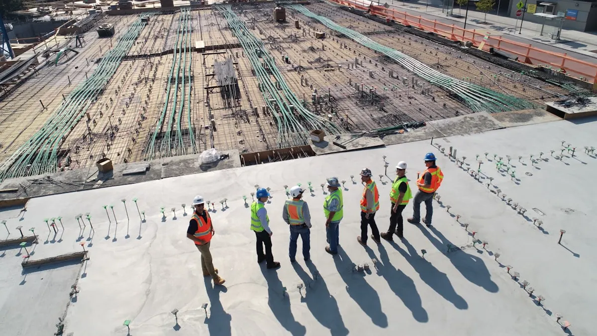
This research investigates the structural stability of high-voltage transmission tower foundations when constructed on hill slopes in the Himalayan region. Using finite element analysis, we evaluated the performance of transmission tower foundations on both plain ground and 45° inclined surfaces, identifying critical displacement patterns and stress concentrations. The study provides valuable insights for safer transmission infrastructure in mountainous terrains, especially in areas prone to earthquakes and landslides. The research was conducted at Aligarh Muslim University and culminated in a published paper in AIP Conference Proceedings.
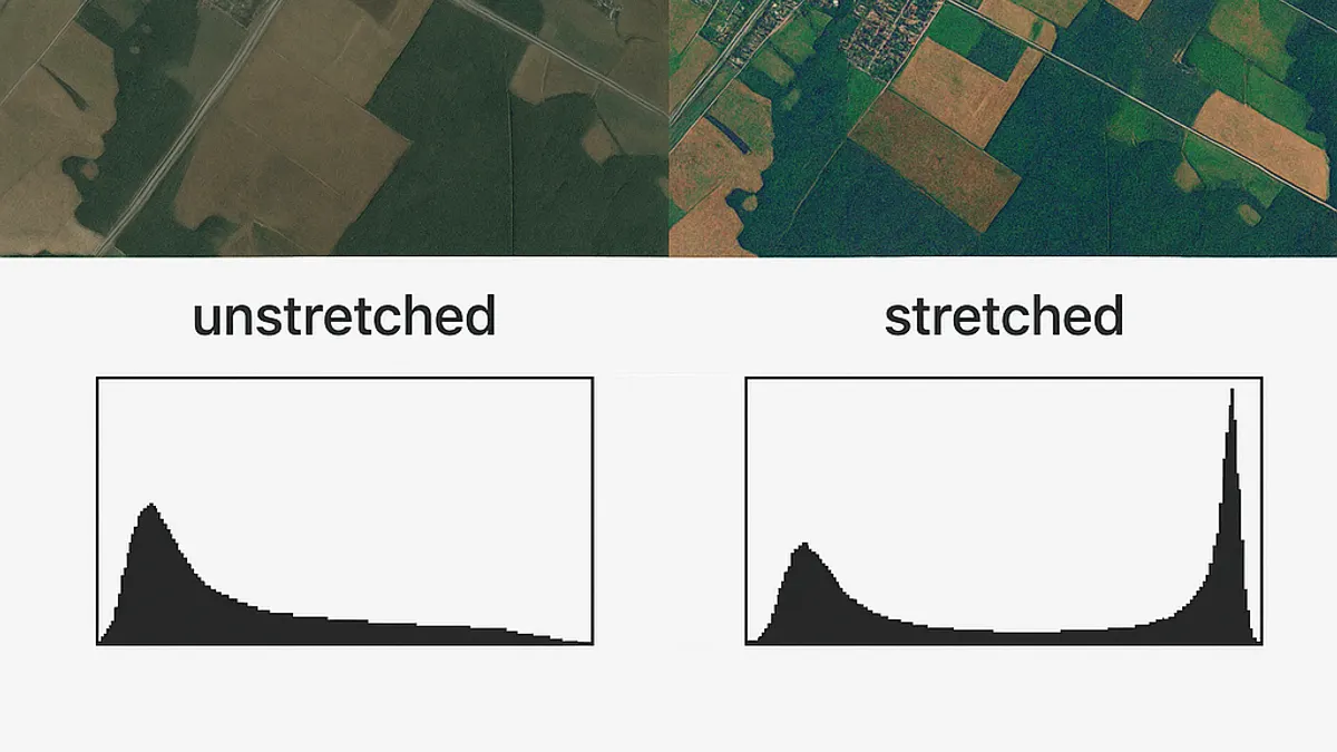
A Python library for geospatial raster enhancement through histogram manipulation. Offers stretching, matching, and equalization modules to improve image contrast and normalize datasets. Built with Rasterio and NumPy, it preserves spatial integrity while providing visualization tools for comparing original and processed imagery, essential for remote sensing applications.
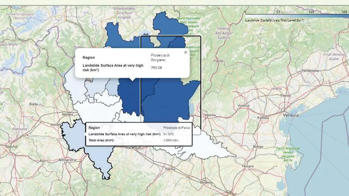
Developed Python-based risk analysis software for landslide monitoring. Utilized AWS relational database based on PostgreSQL with PostGIS extension for spatial data management and analysis.